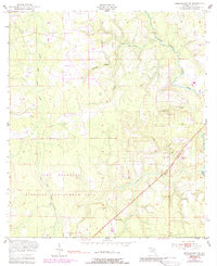
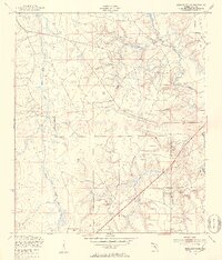
1949 Map of Middleburg SW
USGS Topo · Published 1988About this map
Camp Blanding dominates this landscape in Clay County, representing a period of significant military presence following the Second World War. The terrain is characterized by a complex network of waterways, including the North Fork Black Creek and its various tributaries such as Duckwater Branch and Dillaberry Branch. The influence of the military installation is clear through specialized features like a Landing Strip and a Machine Gun Range.
Find a feature on this map
17 named features on this map. Tap any name to fly to it.
Don’t see what you’re looking for? This feature index may not catch every label — zoom into the map to look around manually.
Map Details
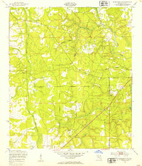
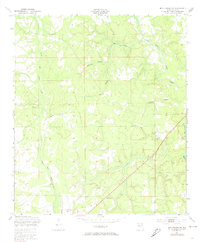
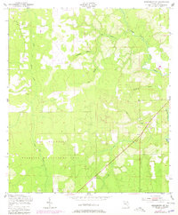
Editions of this 1949 Middleburg SW Map
5 editions found
Other maps of this area

1918 · Middleburg
USGS Topo · 1:62,500

1918 · Lawtey
USGS Topo · 1:62,500

1941 · Starke
USGS Topo · 1:62,500

1941 · Middleburg
USGS Topo · 1:62,500

1942 · Ates Creek
USGS Topo · 1:62,500

1948 · Starke
USGS Topo · 1:50,000

1948 · Jacksonville
USGS Topo · 1:250,000
1949 · Middleburg SW
USGS Topo · 1:24,000

1949 · Fiftone
USGS Topo · 1:24,000
1949 · Starke
USGS Topo · 1:24,000