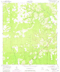
1949 Map of Middleburg SW
USGS Topo · Published 1978About this map
Camp Blanding dominates the southern landscape of this Clay County survey, reflecting the area's mid-century military footprint. The terrain is defined by a dense network of waterways, including the North Fork Black Creek and South Fork Black Creek, which are fed by numerous tributaries such as Duckwater Branch and Dillaberry Branch. This hydrography created a landscape of wetlands and drainage patterns, evidenced by various ditches cut through the forest to manage the low-lying Florida ground.
Find a feature on this map
16 named features on this map. Tap any name to fly to it.
Don’t see what you’re looking for? This feature index may not catch every label — zoom into the map to look around manually.
Map Details
Editions of this 1949 Middleburg SW Map
5 editions found
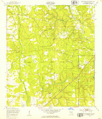
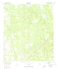
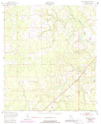
Other maps of this area

1918 · Middleburg
USGS Topo · 1:62,500

1918 · Lawtey
USGS Topo · 1:62,500

1941 · Starke
USGS Topo · 1:62,500

1941 · Middleburg
USGS Topo · 1:62,500

1942 · Ates Creek
USGS Topo · 1:62,500

1948 · Starke
USGS Topo · 1:50,000

1948 · Jacksonville
USGS Topo · 1:250,000

1949 · Middleburg SW
USGS Topo · 1:24,000

1949 · Fiftone
USGS Topo · 1:24,000

1949 · Starke
USGS Topo · 1:24,000