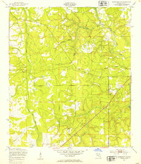
1949 Map of Middleburg SW
USGS Topo · Published 1953About this map
The North Fork Black Creek and South Fork Black Cr converge in this 1949 survey of rural Clay County, defining a landscape of low-lying wetlands and branching tributaries. Military training activities are evident at the Machine Gun Range in the southwest, while local industry is represented by a Quarry located near the eastern edge. Settlement patterns are sparse, characterized by individual homesites and small community anchors like the Oak Grove Ch and a nearby Cem. Numerous waterways including Mill Creek, Big Branch, and Dillaberry Branch drain the piney woods and brush, illustrating the region's natural drainage before significant mid-century development. The map details a network of unimproved roads and firebreaks that link these isolated features, providing a look at the county's interior prior to its modern suburban expansion.
Find a feature on this map
15 named features on this map. Tap any name to fly to it.
Don’t see what you’re looking for? This feature index may not catch every label — zoom into the map to look around manually.
Map Details
Editions of this 1949 Middleburg SW Map
5 editions found
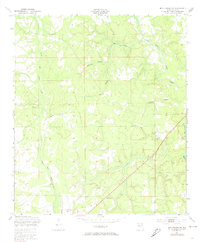
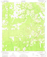
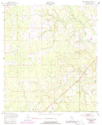
Other maps of this area

1918 · Middleburg
USGS Topo · 1:62,500

1918 · Lawtey
USGS Topo · 1:62,500

1941 · Starke
USGS Topo · 1:62,500

1941 · Middleburg
USGS Topo · 1:62,500

1942 · Ates Creek
USGS Topo · 1:62,500

1948 · Starke
USGS Topo · 1:50,000

1948 · Jacksonville
USGS Topo · 1:250,000

1949 · Middleburg SW
USGS Topo · 1:24,000

1949 · Fiftone
USGS Topo · 1:24,000

1949 · Starke
USGS Topo · 1:24,000