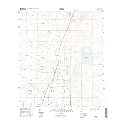
2015 Map of Lawtey
USGS Topo · Published 2015About this map
Lawtey serves as the central hub of this North Florida landscape, situated where SR 200 and Middleburg RD intersect. The town's grid is clearly defined, with Lake ST and Jackson ST anchoring the local street network near the Lawtey Cem. To the north, the community of Highland sits along the elevated terrain of Trail Ridge, a prominent geological feature that influences the local drainage patterns. To the south lies Saxton, marking a smaller cluster of development near the Bradford Co line.
Find a feature on this map
58 named features on this map. Tap any name to fly to it.
Don’t see what you’re looking for? This feature index may not catch every label — zoom into the map to look around manually.
Map Details
Editions of this 2015 Lawtey Map
This is the sole edition of this map. No revisions or reprints were ever made.
Other maps of this area

1918 · Middleburg
USGS Topo · 1:62,500

1918 · Lawtey
USGS Topo · 1:62,500

1941 · Starke
USGS Topo · 1:62,500

1941 · Middleburg
USGS Topo · 1:62,500

1942 · Ates Creek
USGS Topo · 1:62,500

1948 · Starke
USGS Topo · 1:50,000

1948 · Jacksonville
USGS Topo · 1:250,000

1949 · Middleburg SW
USGS Topo · 1:24,000

1949 · Sampson
USGS Topo · 1:24,000

1949 · Fiftone
USGS Topo · 1:24,000