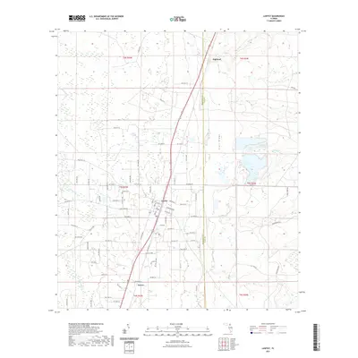
2021 Map of Lawtey
USGS Topo · Published 2021About this map
Lawtey serves as the primary hub of this North Florida landscape, where the grid of residential streets like Adams St meets the transit corridors of the region. The map reveals a transition between the settled areas and the distinct geological feature of Trail Ridge to the east, which influences the drainage of local waterways. Historically significant sites for genealogists include the Lawtey Cem north of the town center, while smaller named settlements such as Saxton and Highland mark the path of travel through Bradford County. The area is defined by its low-lying hydrology, with numerous branches and creeks including Alligator Cr, Mill Br, and Boggy Br winding through the terrain. A dense network of county roads, such as NW Co Rd 125 and Middleburg Rd, provides a detailed view of modern rural land division and property access.
Find a feature on this map
51 named features on this map. Tap any name to fly to it.
Don’t see what you’re looking for? This feature index may not catch every label — zoom into the map to look around manually.
Map Details
Editions of this 2021 Lawtey Map
This is the sole edition of this map. No revisions or reprints were ever made.
Other maps of this area

1918 · Middleburg
USGS Topo · 1:62,500

1918 · Lawtey
USGS Topo · 1:62,500

1941 · Starke
USGS Topo · 1:62,500

1941 · Middleburg
USGS Topo · 1:62,500

1942 · Ates Creek
USGS Topo · 1:62,500

1948 · Starke
USGS Topo · 1:50,000

1948 · Jacksonville
USGS Topo · 1:250,000

1949 · Middleburg SW
USGS Topo · 1:24,000

1949 · Sampson
USGS Topo · 1:24,000

1949 · Fiftone
USGS Topo · 1:24,000