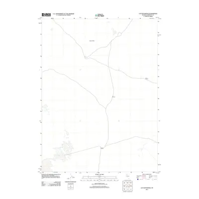
2011 Map of Lay Waterhole
USGS Topo · Published 2011About this map
Desert Valley dominates this 2011 survey, revealing a landscape defined by sparse water resources and cattle ranching infrastructure in Humboldt County. The eponymous Lay Waterhole serves as a primary geographic anchor in this arid basin. The map documents the critical reliance on groundwater, marked by several family-named pumping sites including Banks Windmill, Lee Windmill, and De Long Windmill. These features indicate the persistent agricultural and pastoral footprint in the Great Basin, where name-branded infrastructure provides essential landmarks across an otherwise open terrain. The lack of traditional town centers highlights the isolation and specialized land use of this region at the start of the 21st century.
Find a feature on this map
5 named features on this map. Tap any name to fly to it.
Don’t see what you’re looking for? This feature index may not catch every label — zoom into the map to look around manually.
Map Details
Editions of this 2011 Lay Waterhole Map
This is the sole edition of this map. No revisions or reprints were ever made.
Other maps of this area

1886 · Disaster
USGS Topo · 1:250,000

1893 · Disaster
USGS Topo · 1:250,000

1931 · Lovelock
USGS Topo · 1:250,000

1935 · Lovelock
USGS Topo · 1:250,000

1954 · Vya
USGS Topo · 1:250,000

1955 · Lovelock
USGS Topo · 1:250,000

1958 · Vya
USGS Topo · 1:250,000

1959 · Lovelock
USGS Topo · 1:250,000

1962 · Vya
USGS Topo · 1:250,000

1966 · Donna Schee Peak
USGS Topo · 1:62,500