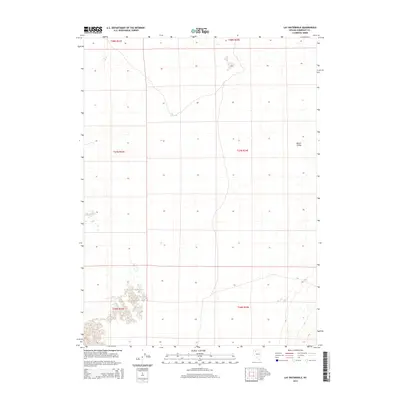
2015 Map of Lay Waterhole
USGS Topo · Published 2015About this map
Lay Waterhole serves as a critical point of reference within the arid expanse of Desert Valley in Humboldt County. This portion of the Great Basin is characterized by its sparse hydrologic features and the broad, open terrain of the valley floor. The map records a landscape defined by its township and range grid, including t37n r34e, which organizes this remote section of northern Nevada. Given the scarcity of named features, the presence of a specific watering point like the waterhole suggests its historical importance for livestock or travelers crossing these high-desert flats. The geography here is largely undisturbed, showing the natural drainage patterns and topographical contours that shape the basin's floor before rising toward distant ridges.
Find a feature on this map
8 named features on this map. Tap any name to fly to it.
Don’t see what you’re looking for? This feature index may not catch every label — zoom into the map to look around manually.
Map Details
Editions of this 2015 Lay Waterhole Map
This is the sole edition of this map. No revisions or reprints were ever made.
Other maps of this area

1886 · Disaster
USGS Topo · 1:250,000

1893 · Disaster
USGS Topo · 1:250,000

1931 · Lovelock
USGS Topo · 1:250,000

1935 · Lovelock
USGS Topo · 1:250,000

1954 · Vya
USGS Topo · 1:250,000

1955 · Lovelock
USGS Topo · 1:250,000

1958 · Vya
USGS Topo · 1:250,000

1959 · Lovelock
USGS Topo · 1:250,000

1962 · Vya
USGS Topo · 1:250,000

1966 · Donna Schee Peak
USGS Topo · 1:62,500