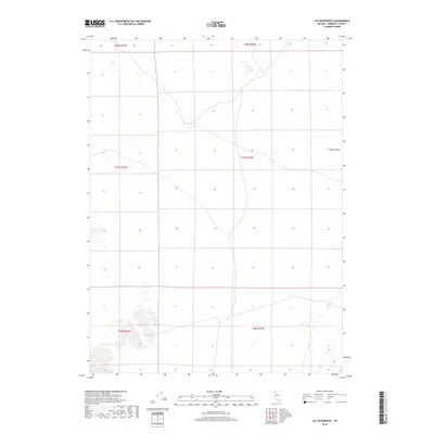
2018 Map of Lay Waterhole
USGS Topo · Published 2018About this map
Lay Waterhole marks a critical water point in this arid stretch of the Great Basin, where the vast Desert Valley dominates the eastern landscape. This 2018 survey by the U.S. Geological Survey documents the remote terrain of Humboldt County, defined largely by the Public Land Survey System grid including t37n r34e and t38n r34e. The topography is characterized by subtle elevation changes and primitive roads that trace the floor of the valley, indicating the sparse human footprint in this high-desert environment. For those researching the history of Nevada's ranching or overland travel, the presence of these isolated water sources provides essential context for how the land was navigated and utilized in a region where surface water is exceptionally rare.
Find a feature on this map
8 named features on this map. Tap any name to fly to it.
Don’t see what you’re looking for? This feature index may not catch every label — zoom into the map to look around manually.
Map Details
Editions of this 2018 Lay Waterhole Map
This is the sole edition of this map. No revisions or reprints were ever made.
Other maps of this area

1886 · Disaster
USGS Topo · 1:250,000

1893 · Disaster
USGS Topo · 1:250,000

1931 · Lovelock
USGS Topo · 1:250,000

1935 · Lovelock
USGS Topo · 1:250,000

1954 · Vya
USGS Topo · 1:250,000

1955 · Lovelock
USGS Topo · 1:250,000

1958 · Vya
USGS Topo · 1:250,000

1959 · Lovelock
USGS Topo · 1:250,000

1962 · Vya
USGS Topo · 1:250,000

1966 · Donna Schee Peak
USGS Topo · 1:62,500