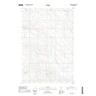
2020 Map of Le Dout Creek
USGS Topo · Published 2020About this map
The Puyallup River and Mowich River dominate this 2020 landscape in Pierce County, where a complex network of forest service and industrial roads navigates high-elevation ridges. The Electron Flume follows the contours of the river valley, a notable engineering feature that underscores the region's hydroelectric and industrial history. Further south, The Divide separates the primary drainages, marking a transition between the Puyallup River and the Mowich River basins.
Find a feature on this map
28 named features on this map. Tap any name to fly to it.
Don’t see what you’re looking for? This feature index may not catch every label — zoom into the map to look around manually.
Map Details
Editions of this 2020 Le Dout Creek Map
This is the sole edition of this map. No revisions or reprints were ever made.
Other maps of this area

1897 · Tacoma
USGS Topo · 1:125,000

1900 · Tacoma
USGS Topo · 1:125,000

1913 · Cedar Lake
USGS Topo · 1:125,000

1924 · Mt Rainier
USGS Topo · 1:96,000

1928 · Mt Rainier
USGS Topo · 1:125,000

1937 · Eatonville
USGS Topo · 1:125,000

1942 · Lake Tapps
USGS Topo · 1:62,500

1944 · Lake Tapps
USGS Topo · 1:62,500

1950 · Yakima
USGS Topo · 1:250,000

1953 · Hoquiam
USGS Topo · 1:250,000