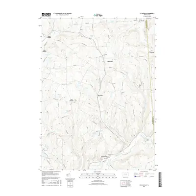
2016 Map of Le Raysville
USGS Topo · Published 2016About this map
Le Raysville serves as the central hub of this landscape on the border of Susquehanna and Bradford counties. The area is defined by a dense network of country roads such as LeRaysville Rd and Allis Hollow Rd, connecting several small rural communities including Brushville, East Herrick, and Stevensville. The geography is deeply dissected by numerous watercourses, most notably Wyalusing Creek and Johnson Cr, which are fed by a series of upland bodies including Totem Lake, Atwoods Pond, and Phillips Pond.
Find a feature on this map
109 named features on this map. Tap any name to fly to it.
Don’t see what you’re looking for? This feature index may not catch every label — zoom into the map to look around manually.
Map Details
Editions of this 2016 Le Raysville Map
This is the sole edition of this map. No revisions or reprints were ever made.
Other maps of this area

1923 · Towanda
USGS Topo · 1:62,500

1926 · Towanda
USGS Topo · 1:62,500

1943 · Towanda
USGS Topo · 1:62,500

1943 · Monroeton
USGS Topo · 1:62,500

1943 · Le Raysville
USGS Topo · 1:62,500

1945 · Le Raysville
USGS Topo · 1:62,500

1945 · Meshoppen
USGS Topo · 1:62,500

1945 · Auburn Center
USGS Topo · 1:24,000

1945 · Laceyville
USGS Topo · 1:24,000
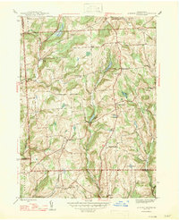
1947 · Auburn Center
USGS Topo · 1:31,680