Loading...
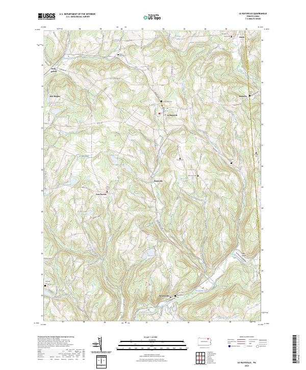
Loading map...2023 Map of Le Raysville
USGS Topo · Published 2023About this map
Le Raysville sits at the heart of a rolling agricultural and forest landscape in northern Pennsylvania, defined by a network of creeks and small family-named ponds. The terrain is deeply carved by waterways like Wyalusing Creek and Mill Creek, creating a tapestry of hollows and heights such as Wells Hollow and Zion Heights. Small upland settlements and post offices connect via winding roads like Herrickville Rd and Le Raysville Rd, serving local farming communities.
Find a feature on this map
97 named features on this map. Tap any name to fly to it.
Don’t see what you’re looking for? This feature index may not catch every label — zoom into the map to look around manually.
Map Details
Date Portrayed2023
Date Published2023
PublisherU.S. Geological Survey
Map TypeTopographic
Scale1:24000
Physical Dimensions24 x 29 inches
Editions of this 2023 Le Raysville Map
This is the sole edition of this map. No revisions or reprints were ever made.
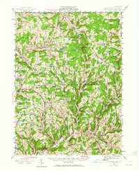
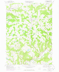
Historical Maps of Prattville Through Time
4 maps found

Featured Locations
Source Details
SourceU.S. Geological Survey
CopyrightPublic Domain