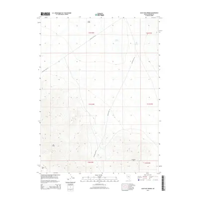
2014 Map of Leach Hot Springs
USGS Topo · Published 2014About this map
Leach Hot Springs and Nelson Hot Spring emerge from the geothermal landscape of Pershing County, marking a distinct hydrogeological signature within Grass Valley. The topographic character is defined by the sharp rise of the East Range to the west and the Goldbanks Hills in the southeast, with Table Mtn anchoring the southwestern corner. Transportation through this remote terrain is represented by rugged corridors like Spaulding Canyon Rd and Quicksilver Mines Rd. The latter's name hints at the region's historical connection to mercury mining operations, while the overall lack of permanent settlements underscores the area's isolation and reliance on specialized resource extraction and unique geothermal features.
Find a feature on this map
14 named features on this map. Tap any name to fly to it.
Don’t see what you’re looking for? This feature index may not catch every label — zoom into the map to look around manually.
Map Details
Editions of this 2014 Leach Hot Springs Map
This is the sole edition of this map. No revisions or reprints were ever made.
Other maps of this area

1932 · Sonoma Range
USGS Topo · 1:250,000

1939 · Sonoma Range
USGS Topo · 1:250,000

1955 · Winnemucca
USGS Topo · 1:250,000

1958 · Winnemucca
USGS Topo · 1:250,000
1961 · Kyle Hot Springs
USGS Topo · 1:62,500

1961 · Mt. Tobin
USGS Topo · 1:62,500

1961 · Leach Hot Springs
USGS Topo · 1:62,500

1961 · Dun Glen
USGS Topo · 1:62,500

1962 · Winnemucca
USGS Topo · 1:250,000

1982 · Fish Creek Mts
USGS Topo · 1:100,000