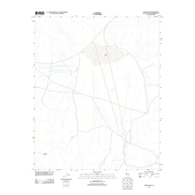
2012 Map of Leach Lake
USGS Topo · Published 2012About this map
Leach Lake dominates the central portion of this High Desert landscape, appearing as a broad, stippled basin that receives drainage from the surrounding high ground. The terrain is defined by complex drainage patterns, with numerous unnamed washes carving through the northern and western slopes. To the southwest, the Granite Mountains rise as a prominent topographic boundary, anchoring the corner of the survey. Reliable water sources were essential in this arid environment, evidenced by the location of Desert King Spring at the mountain base and Two Springs to the east. This 2012 depiction reflects a largely undeveloped region of San Bernardino County, where a sparse network of unpaved roads and 4WD tracks provides the only access through the basin and towards the mountain foothills.
Find a feature on this map
4 named features on this map. Tap any name to fly to it.
Don’t see what you’re looking for? This feature index may not catch every label — zoom into the map to look around manually.
Map Details
Editions of this 2012 Leach Lake Map
This is the sole edition of this map. No revisions or reprints were ever made.
Other maps of this area

1933 · Avawatz Mountains
USGS Topo · 1:250,000

1947 · Trona
USGS Topo · 1:250,000

1948 · Trona
USGS Topo · 1:250,000

1948 · Quail Mountains
USGS Topo · 1:62,500

1948 · Leach Lake
USGS Topo · 1:62,500

1948 · Goldstone Lake
USGS Topo · 1:62,500

1948 · Tiefort Mountains
USGS Topo · 1:62,500

1951 · Goldstone Lake
USGS Topo · 1:62,500

1951 · Tiefort Mountains
USGS Topo · 1:62,500

1951 · Quail Mountains
USGS Topo · 1:62,500