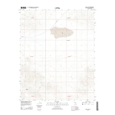
2015 Map of Leach Lake
USGS Topo · Published 2015About this map
Leach Lake sits at the heart of this high-desert landscape, serving as a central geographic marker within the Mojave Desert. The map reveals a transition from the dry basin floor to the rising elevations of the Granite Mountains in the southwest. This remote area is defined by its critical water sources, including Desert King Spring and Two Springs, which provide essential points of interest for those tracking historical travel or survival in the arid San Bernardino County interior. Settlement here is virtually non-existent, represented instead by the long traverse of Randsburg Rd cutting through the northern sections of the townships. This 2015 survey illustrates how the fundamental topography and sparse hydrology remain the defining characteristics of this section of the California desert.
Find a feature on this map
12 named features on this map. Tap any name to fly to it.
Don’t see what you’re looking for? This feature index may not catch every label — zoom into the map to look around manually.
Map Details
Editions of this 2015 Leach Lake Map
This is the sole edition of this map. No revisions or reprints were ever made.
Other maps of this area

1933 · Avawatz Mountains
USGS Topo · 1:250,000

1947 · Trona
USGS Topo · 1:250,000

1948 · Trona
USGS Topo · 1:250,000

1948 · Quail Mountains
USGS Topo · 1:62,500

1948 · Leach Lake
USGS Topo · 1:62,500

1948 · Goldstone Lake
USGS Topo · 1:62,500

1948 · Tiefort Mountains
USGS Topo · 1:62,500

1951 · Goldstone Lake
USGS Topo · 1:62,500

1951 · Tiefort Mountains
USGS Topo · 1:62,500

1951 · Quail Mountains
USGS Topo · 1:62,500