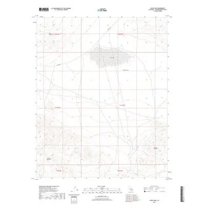
2018 Map of Leach Lake
USGS Topo · Published 2018About this map
Leach Lake sits at the center of this 2018 survey, marking a seasonal drainage point in the heart of the Mojave Desert. The landscape is defined by the convergence of several high-elevation ranges, including the Quail Mountains to the northwest, the Granite Mountains to the southwest, and the Avawatz Mountains in the southeast. This intersection of desert topography creates a basin where isolated water sources were vital for early travel and prospecting. Sparse road networks like Randsburg Rd cut through the arid terrain, connecting these remote landmarks. The map also records essential water points such as Desert King Spring and Two Springs, which serve as permanent markers of the region's hydrology and human history in an otherwise parched environment.
Find a feature on this map
14 named features on this map. Tap any name to fly to it.
Don’t see what you’re looking for? This feature index may not catch every label — zoom into the map to look around manually.
Map Details
Editions of this 2018 Leach Lake Map
This is the sole edition of this map. No revisions or reprints were ever made.
Other maps of this area

1933 · Avawatz Mountains
USGS Topo · 1:250,000

1947 · Trona
USGS Topo · 1:250,000

1948 · Trona
USGS Topo · 1:250,000

1948 · Quail Mountains
USGS Topo · 1:62,500

1948 · Leach Lake
USGS Topo · 1:62,500

1948 · Goldstone Lake
USGS Topo · 1:62,500

1948 · Tiefort Mountains
USGS Topo · 1:62,500

1951 · Goldstone Lake
USGS Topo · 1:62,500

1951 · Tiefort Mountains
USGS Topo · 1:62,500

1951 · Quail Mountains
USGS Topo · 1:62,500