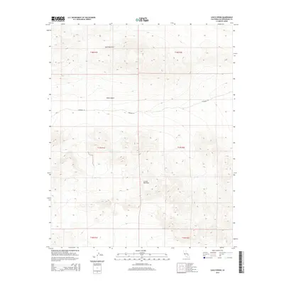
2015 Map of Leach Spring
USGS Topo · Published 2015About this map
Leach Spring provides a critical water source in this arid stretch of the Mojave Desert, positioned between the high elevations of the Quail Mountains to the north and the Granite Mountains to the south. This 2015 survey reveals a landscape largely shaped by topography and the historical corridors of desert travel, most notably along Randsburg Rd. The map detail captures the intersection of several townships, including t17n r1e and t18n r2e, illustrating how the Public Land Survey System partitions this section of San Bernardino County. The isolation of these mountain ranges from one another, separated by the desert floor, highlights the traditional challenges of traversing this terrain where localized springs like Leach Spring served as essential landmarks for navigation and survival.
Find a feature on this map
11 named features on this map. Tap any name to fly to it.
Don’t see what you’re looking for? This feature index may not catch every label — zoom into the map to look around manually.
Map Details
Editions of this 2015 Leach Spring Map
This is the sole edition of this map. No revisions or reprints were ever made.
Other maps of this area

1933 · Avawatz Mountains
USGS Topo · 1:250,000

1947 · Trona
USGS Topo · 1:250,000

1948 · Trona
USGS Topo · 1:250,000

1948 · Quail Mountains
USGS Topo · 1:62,500

1948 · Leach Lake
USGS Topo · 1:62,500

1948 · Goldstone Lake
USGS Topo · 1:62,500

1948 · Tiefort Mountains
USGS Topo · 1:62,500

1951 · Goldstone Lake
USGS Topo · 1:62,500

1951 · Tiefort Mountains
USGS Topo · 1:62,500

1951 · Quail Mountains
USGS Topo · 1:62,500