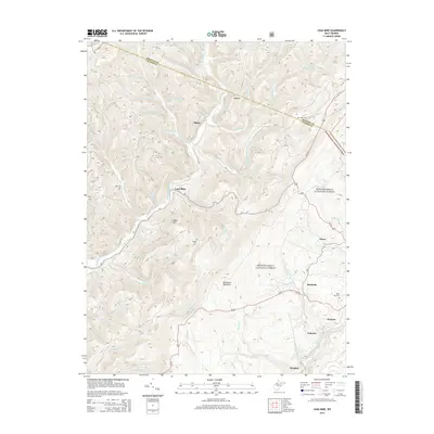
2014 Map of Lead Mine
USGS Topo · Published 2014About this map
Thomas and its surrounding coal-country settlements stand at the southern edge of this map, where the North Fork Blackwater River carves through the terrain. The landscape is defined by the high ridges of Backbone Mountain and the deep cuts of the Monongahela National Forest. Historical family and community sites are scattered across the high ground, including Rose Hill Cem and Knotts Cem, providing vital clues for genealogical research in this part of Tucker County.
Find a feature on this map
48 named features on this map. Tap any name to fly to it.
Don’t see what you’re looking for? This feature index may not catch every label — zoom into the map to look around manually.
Map Details
Editions of this 2014 Lead Mine Map
This is the sole edition of this map. No revisions or reprints were ever made.
Other maps of this area

1886 · St. George
USGS Topo · 1:125,000

1891 · St. George
USGS Topo · 1:125,000

1895 · Piedmont
USGS Topo · 1:125,000

1899 · Oakland
USGS Topo · 1:62,500

1900 · Oakland
USGS Topo · 1:62,500

1907 · Kingwood
USGS Topo · 1:62,500

1908 · Parsons
USGS Topo · 1:62,500

1916 · Davis
USGS Topo · 1:48,000

1918 · Davis
USGS Topo · 1:62,500

1919 · Davis
USGS Topo · 1:62,500