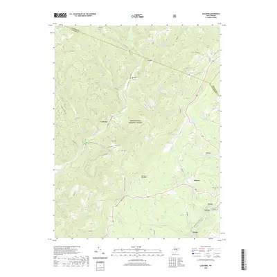
2019 Map of Lead Mine
USGS Topo · Published 2019About this map
Thomas and its neighboring coal settlements of Coketon, Douglas, and Benbush anchor the southeastern corner of this Tucker County landscape. Situated along the North Fork Blackwater River, these communities reveal the long-standing industrial footprint of the region, where the terrain transitions from the high ridges of Backbone Mountain into the deep drainages of Monongahela National Forest. The map documents a dense network of water features including Horseshoe Run, Maxwell Run, and Snyder Run, which have historically dictated the placement of early settlements and travel routes.
Find a feature on this map
53 named features on this map. Tap any name to fly to it.
Don’t see what you’re looking for? This feature index may not catch every label — zoom into the map to look around manually.
Map Details
Editions of this 2019 Lead Mine Map
This is the sole edition of this map. No revisions or reprints were ever made.
Other maps of this area

1886 · St. George
USGS Topo · 1:125,000

1891 · St. George
USGS Topo · 1:125,000

1895 · Piedmont
USGS Topo · 1:125,000

1899 · Oakland
USGS Topo · 1:62,500

1900 · Oakland
USGS Topo · 1:62,500

1907 · Kingwood
USGS Topo · 1:62,500

1908 · Parsons
USGS Topo · 1:62,500

1916 · Davis
USGS Topo · 1:48,000

1918 · Davis
USGS Topo · 1:62,500

1919 · Davis
USGS Topo · 1:62,500