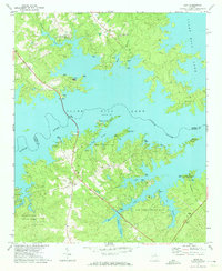
1971 Map of Leah
USGS Topo · Published 1973About this map
The waters of Clark Hill Lake dominate this 1971 survey, where the Little River and numerous tributaries like Chigoe Creek and Keg Creek create a complex, winding shoreline along the border of Columbia and Lincoln Counties. The landscape reflects a mid-century shift toward recreation and conservation, evidenced by the large footprints of Mistletoe State Park, Keg Creek State Park, and the Fort Gordon Recreation Area. High ground is defined by prominent routes such as Ridge Road and Petersburg Road. Small rural centers and crossroads are anchored by local landmarks like Leah and a series of country churches including Rehoboth Ch, Damascus Ch, and Newberry Ch. For the genealogist, the map identifies several smaller sites such as Union Chapel and Bethel Cem near the Galilee Ch.
Find a feature on this map
39 named features on this map. Tap any name to fly to it.
Don’t see what you’re looking for? This feature index may not catch every label — zoom into the map to look around manually.
Map Details
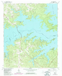
Editions of this 1971 Leah Map
2 editions found
Other maps of this area

1892 · Mc Cormick
USGS Topo · 1:125,000

1912 · Mc Cormick
USGS Topo · 1:125,000

1920 · Clarks Hill
USGS Topo · 1:48,000

1921 · Clarks Hill
USGS Topo · 1:62,500

1921 · Appling
USGS Topo · 1:62,500

1941 · Clarks Hill
USGS Topo · 1:62,500

1942 · Clarks Hill
USGS Topo · 1:62,500

1943 · Appling
USGS Topo · 1:62,500

1953 · Athens
USGS Topo · 1:250,000

1958 · Athens
USGS Topo · 1:250,000