Loading...
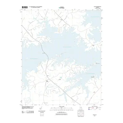
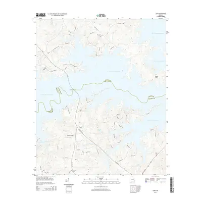
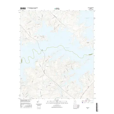
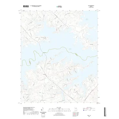
Loading map...1971 Map of Leah
USGS Topo · Published 1987About this map
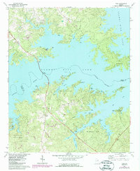
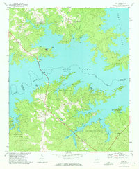
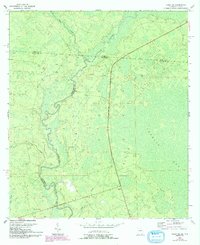
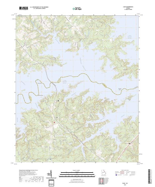
The waters of Clarks Hill Lake dominate this landscape on the border of Lincoln and Columbia counties, following the damming of the Little River. The 1971 data, later photorevised in 1986, captures a shoreline characterized by numerous inlets and branches, such as Double Branches and Keg Creek, which have transformed former valley floors into recreational and conservation areas. The map details the emergence of significant parks including Mistletoe State Park, Wildwood Park, and the Fort Gordon Recreation Area.
Find a feature on this map
33 named features on this map. Tap any name to fly to it.
Don’t see what you’re looking for? This feature index may not catch every label — zoom into the map to look around manually.
Map Details
Date Portrayed1971
Date Published1987
PublisherU.S. Geological Survey
Map TypeTopographic
Scale1:24,000
Physical Dimensions22 x 26.9 inches
Editions of this 1971 Leah Map
2 editions found
Historical Maps of Bussey Through Time
8 maps found
Featured Locations
Source Details
SourceU.S. Geological Survey
CopyrightPublic Domain