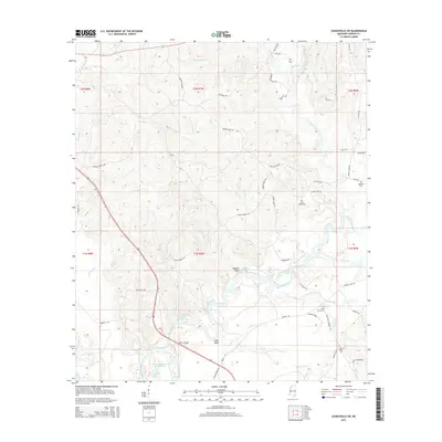
2015 Map of Leakesville SW
USGS Topo · Published 2015About this map
The Chickasawhay River and Leaf River converge in this corner of Greene County, creating a complex wetland environment of oxbows and cutoffs. Notable water bodies such as Colonel Merrill Lake, Rattlesnake Lake, and the uniquely named Dressler Hammond Dead River illustrate the shifting nature of these southern Mississippi waterways. Prominent high points like Roberts Bluff and Shell Bluff overlook the river valley, providing significant landmarks in the otherwise alluvial landscape.
Find a feature on this map
70 named features on this map. Tap any name to fly to it.
Don’t see what you’re looking for? This feature index may not catch every label — zoom into the map to look around manually.
Map Details
Editions of this 2015 Leakesville SW Map
This is the sole edition of this map. No revisions or reprints were ever made.
Other maps of this area

1941 · Lucedale
USGS Topo · 1:62,500

1943 · Lucedale
USGS Topo · 1:62,500

1947 · Beaumont
USGS Topo · 1:62,500

1947 · Benndale
USGS Topo · 1:62,500

1949 · Beaumont
USGS Topo · 1:62,500

1949 · Benndale
USGS Topo · 1:62,500

1953 · Hattiesburg
USGS Topo · 1:250,000

1953 · Mobile
USGS Topo · 1:250,000

1957 · Mobile
USGS Topo · 1:250,000

1958 · Hattiesburg
USGS Topo · 1:250,000