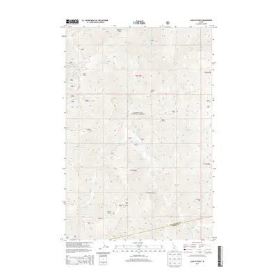
2013 Map of Lean-to Point
USGS Topo · Published 2013About this map
Clearwater National Forest dominates this landscape in the rugged interior of northern Idaho, where the complex drainage basin of Weitas Creek defines the topography. The terrain is marked by a series of prominent peaks and ridgelines, including Lean-to Point, Lean-To Ridge, and Johnagan Mtn. This 2013 survey illustrates the remote character of the region, where access is limited to forest roads like Co RD 120 and primitive sites such as Horse Camp and Wedge Camp. Historically, the area relied on pack trails and fundamental crossings, evidenced by the Horse Pack Bridge over the water. Numerous seasonal streams, from Johnny Cr to Doris Cr, carve through the steep elevations between Doris Butte and Johnny Butte, providing a detailed look at the hydrology of the Bitterroot range foothills.
Find a feature on this map
37 named features on this map. Tap any name to fly to it.
Don’t see what you’re looking for? This feature index may not catch every label — zoom into the map to look around manually.
Map Details
Editions of this 2013 Lean-to Point Map
This is the sole edition of this map. No revisions or reprints were ever made.
Other maps of this area

1911 · Lolo
USGS Topo · 1:250,000

1913 · Lolo
USGS Topo · 1:250,000

1923 · Washington Creek
USGS Topo · 1:125,000

1924 · Weippe
USGS Topo · 1:125,000

1956 · Hamilton
USGS Topo · 1:250,000

1959 · Hamilton
USGS Topo · 1:250,000

1960 · Hamilton
USGS Topo · 1:250,000

1963 · Clarke Mtn
USGS Topo · 1:24,000

1964 · Hamilton
USGS Topo · 1:250,000

1965 · Junction Mtn
USGS Topo · 1:24,000