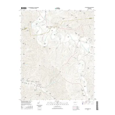
2016 Map of Leatherwood
USGS Topo · Published 2016About this map
The Buffalo River meanders through the heart of this Perry and Wayne County landscape, carving dramatic bends such as Whitaker Bend, Stone Bend, and Bastin Bend. The village of Flat Woods serves as a central point of settlement along Old State Hwy 13, while the community of Leatherwood is established further south near Beech Cr. The map is particularly dense with small family and community burial grounds, including the Popes Chapel Cem, Merideth Cem, and Throgmorton Cem, providing significant data for genealogical research in this rural Tennessee highland. The terrain is defined by a complex network of hollows and ridges, such as Whitehead Ridge and Sharp Hollow, which have long dictated the path of local travel and agriculture. Notable river crossings and landmarks like Bartley Bridge and Pine Bluff further anchor the geography of this mid-2010s survey.
Find a feature on this map
125 named features on this map. Tap any name to fly to it.
Don’t see what you’re looking for? This feature index may not catch every label — zoom into the map to look around manually.
Map Details
Editions of this 2016 Leatherwood Map
This is the sole edition of this map. No revisions or reprints were ever made.
Other maps of this area

1905 · Waynesboro
USGS Topo · 1:125,000

1936 · Graves Spring
USGS Topo · 1:24,000

1936 · Eagle Creek
USGS Topo · 1:24,000

1936 · Linden
USGS Topo · 1:24,000

1936 · Leatherwood
USGS Topo · 1:24,000

1936 · Negro Hollow
USGS Topo · 1:24,000

1936 · Clifton
USGS Topo · 1:24,000

1936 · Waynesboro
USGS Topo · 1:24,000

1936 · Topsy
USGS Topo · 1:24,000

1936 · Pope
USGS Topo · 1:24,000