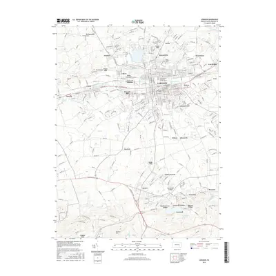
2016 Map of Lebanon
USGS Topo · Published 2016About this map
Lebanon serves as the dense urban core of this 2016 survey, surrounded by a constellation of established neighborhoods and smaller industrial-era settlements. The southern portion of the map highlights the area's rich history of iron and coal, anchored by Cornwall Furnace and the residential clusters of Miners Village and Anthracite. The landscape is etched by the Quittapahilla Cr and Beck Cr, with the Cornwall Reservoir and a large Tailing Pond marking the legacy of local extraction and resource management near Rexmont.
Find a feature on this map
301 named features on this map. Tap any name to fly to it.
Don’t see what you’re looking for? This feature index may not catch every label — zoom into the map to look around manually.
Map Details
Editions of this 2016 Lebanon Map
This is the sole edition of this map. No revisions or reprints were ever made.
Other maps of this area

1891 · Lebanon
USGS Topo · 1:62,500

1892 · Hummelstown
USGS Topo · 1:62,500

1893 · Lebanon
USGS Topo · 1:62,500

1899 · Lebanon
USGS Topo · 1:62,500

1902 · Lancaster
USGS Topo · 1:62,500

1904 · Lancaster
USGS Topo · 1:62,500

1908 · Middletown
USGS Topo · 1:62,500

1924 · Hummelstown
USGS Topo · 1:62,500

1943 · Lancaster
USGS Topo · 1:62,500

1943 · Lebanon
USGS Topo · 1:62,500