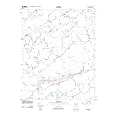
2010 Map of Lebanon
USGS Topo · Published 2010About this map
Lebanon serves as the focal point of this southwestern Virginia landscape, situated between the prominent ridges of Copper Ridge and Clinch Mountain. The town's layout is centered around the Lebanon Post Office, with surrounding residential clusters like Slabtown and Spring City providing a look at the community's local geography. The winding Clinch River dominates the northern half of the quadrangle, punctuated by geographic markers like Big Falls and the secluded Pucketts Hole.
Find a feature on this map
104 named features on this map. Tap any name to fly to it.
Don’t see what you’re looking for? This feature index may not catch every label — zoom into the map to look around manually.
Map Details
Editions of this 2010 Lebanon Map
This is the sole edition of this map. No revisions or reprints were ever made.
Other maps of this area

1886 · Grundy
USGS Topo · 1:125,000

1890 · Grundy
USGS Topo · 1:125,000

1891 · Tazewell
USGS Topo · 1:125,000

1891 · Abingdon
USGS Topo · 1:125,000

1892 · Grundy
USGS Topo · 1:125,000

1894 · Abingdon
USGS Topo · 1:125,000

1895 · Tazewell
USGS Topo · 1:125,000

1897 · Tazewell
USGS Topo · 1:125,000

1897 · Bristol
USGS Topo · 1:125,000

1902 · Bristol
USGS Topo · 1:125,000