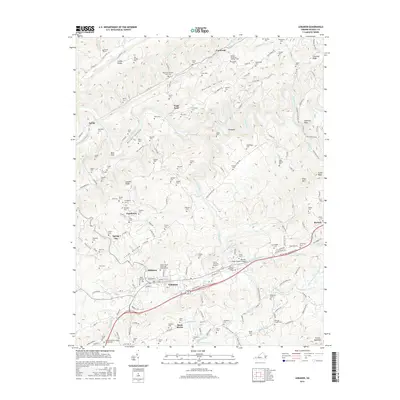
2016 Map of Lebanon
USGS Topo · Published 2016About this map
The town of Lebanon serves as a central hub on this map, situated within the long, linear valley of Glade Hollow. The landscape is defined by the parallel ridges of Copper Ridge and Clinch Mountain, which direct the flow of numerous waterways like Big Cedar Creek and the Clinch River. The region’s deep-rooted family history is documented through an exceptional density of family burial grounds, including the Yates Family Cem, William Thompson Fletcher Cem, and Musick Cem. Small settlements such as Stone Bruise, Slabtown, and Pondtown dot the countryside, connected by a network of winding local roads including New Garden Rd and Finney Rd. This modern survey reveals a community shaped by its distinctive Appalachian topography, where transportation routes and residential pockets follow the narrow paths between steep limestone ridges and winding creek beds.
Find a feature on this map
180 named features on this map. Tap any name to fly to it.
Don’t see what you’re looking for? This feature index may not catch every label — zoom into the map to look around manually.
Map Details
Editions of this 2016 Lebanon Map
This is the sole edition of this map. No revisions or reprints were ever made.
Other maps of this area

1886 · Grundy
USGS Topo · 1:125,000

1890 · Grundy
USGS Topo · 1:125,000

1891 · Tazewell
USGS Topo · 1:125,000

1891 · Abingdon
USGS Topo · 1:125,000

1892 · Grundy
USGS Topo · 1:125,000

1894 · Abingdon
USGS Topo · 1:125,000

1895 · Tazewell
USGS Topo · 1:125,000

1897 · Tazewell
USGS Topo · 1:125,000

1897 · Bristol
USGS Topo · 1:125,000

1902 · Bristol
USGS Topo · 1:125,000