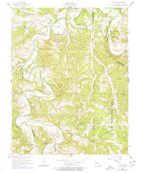
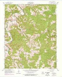
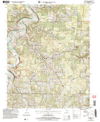
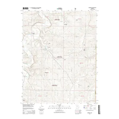
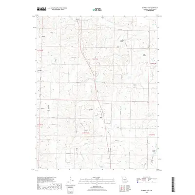
1975 Map of Lebanon SE
USGS Topo · Published 1976About this map
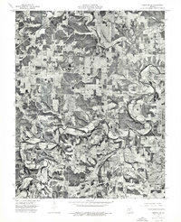
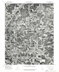
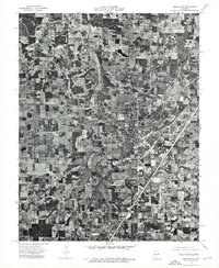
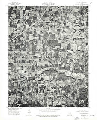
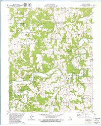
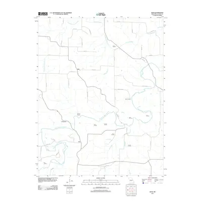
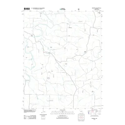
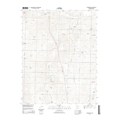
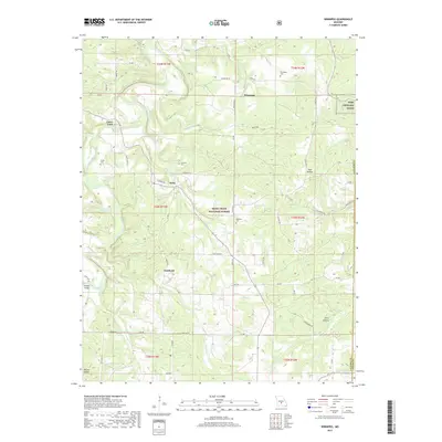
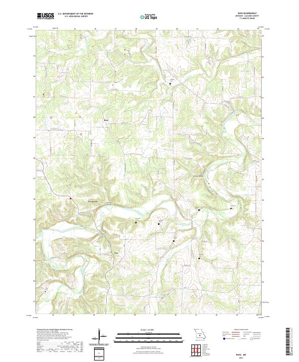
Osage Fork meanders across this rural Missouri landscape, its winding course defining the agricultural and wooded patterns of Laclede County in the mid-1970s. This orthophotoquad, derived from aerial imagery, reveals the finely detailed patchwork of cleared farm fields and dense timber stands characteristic of the Ozark Plateau. The small settlement of Russ appears as a quiet crossroads amidst this mosaic of land use. Unlike traditional line-drawn maps, this photograph captures the exact texture of the terrain, showing every fence line, farmstead, and forest edge as it existed during the spring of 1975. The imagery provides a clear view of how the local road network follows the ridges and valleys carved by the river's path, offering a precise record of rural development and land management in this portion of the Lebanon area.
Find a feature on this map
2 named features on this map. Tap any name to fly to it.
Don’t see what you’re looking for? This feature index may not catch every label — zoom into the map to look around manually.
Map Details
Editions of this 1975 Lebanon SE Map
This is the sole edition of this map. No revisions or reprints were ever made.
Historical Maps of Evergreen Through Time
49 maps found
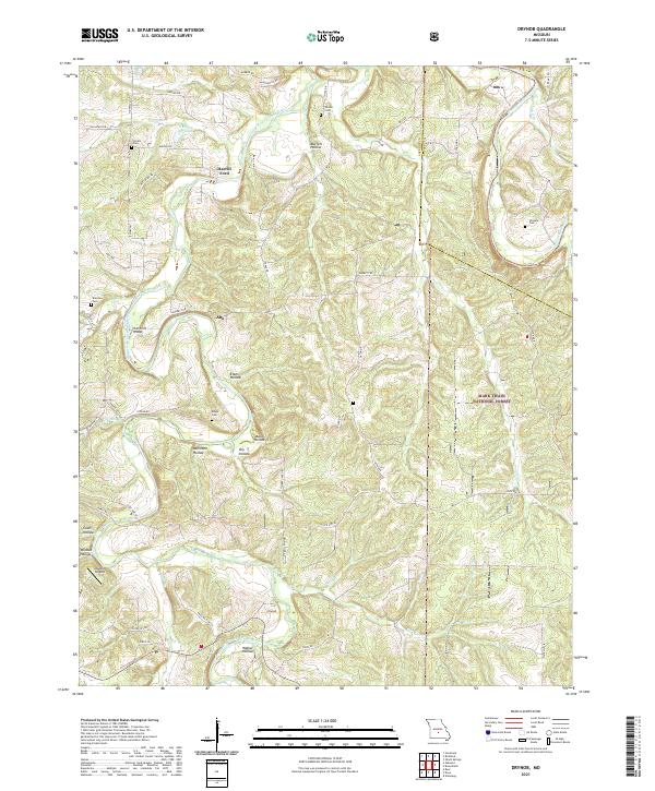
1943 Drynob
Laclede County, MO
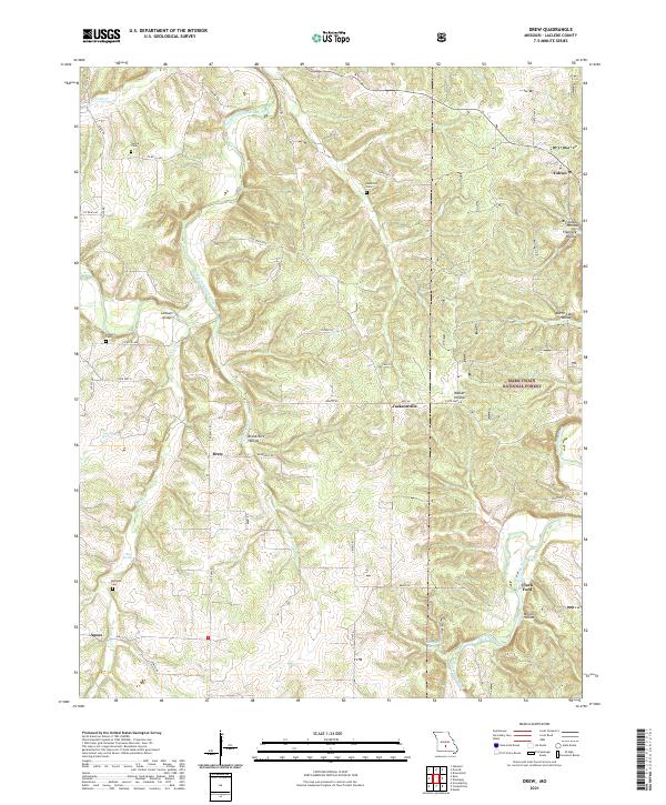
1954 Drew
Laclede County, MO
1954 Drynob
Laclede County, MO
1954 Drynob
Laclede County, MO
1954 Winnipeg
Laclede County, MO
1975 Lebanon NE
Laclede County, MO
1975 Lebanon NW
Laclede County, MO
1975 Lebanon SE
Laclede County, MO
1975 Lebanon SW
Laclede County, MO
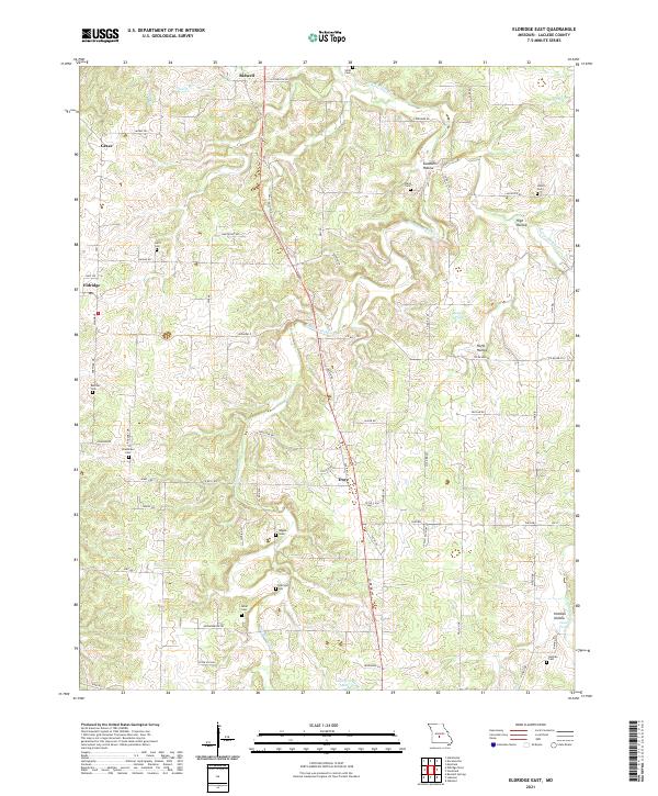
1976 Eldridge East
Laclede County, MO
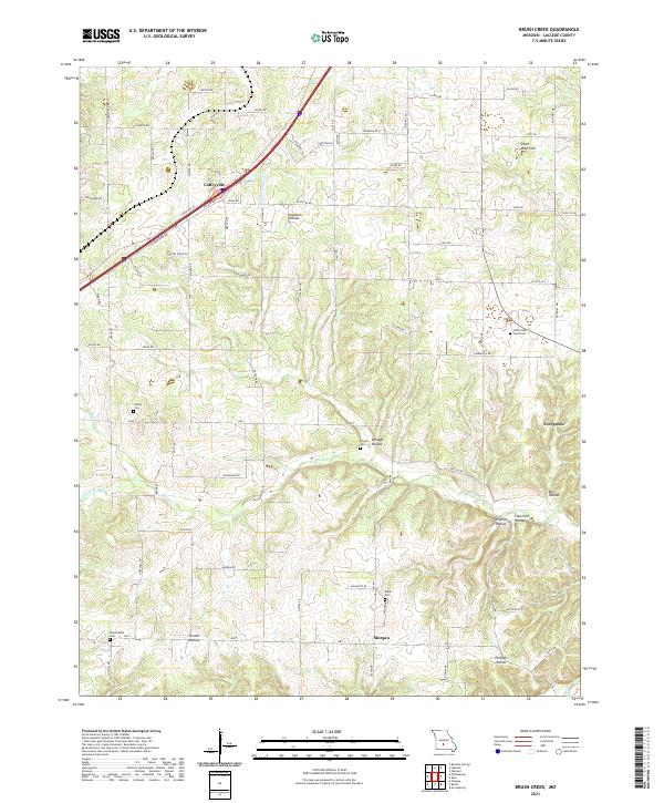
1979 Brush Creek
Laclede County, MO
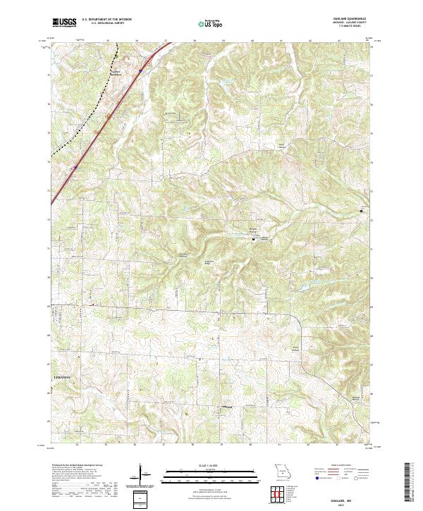
1979 Oakland
Laclede County, MO
1979 Russ
Laclede County, MO
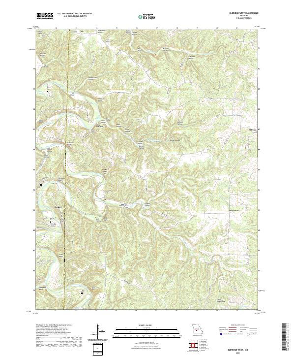
1982 Eldridge West
Laclede County, MO
2004 Drew
Laclede County, MO
2004 Drynob
Laclede County, MO
2004 Winnipeg
Laclede County, MO
2011 Brush Creek
Laclede County, MO
2011 Eldridge East
Laclede County, MO
2011 Oakland
Laclede County, MO
2011 Russ
Laclede County, MO
2012 Drew
Laclede County, MO
2012 Drynob
Laclede County, MO
2012 Eldridge West
Laclede County, MO
2012 Winnipeg
Laclede County, MO
2015 Brush Creek
Laclede County, MO
2015 Drew
Laclede County, MO
2015 Drynob
Laclede County, MO
2015 Eldridge East
Laclede County, MO
2015 Eldridge West
Laclede County, MO
2015 Oakland
Laclede County, MO
2015 Russ
Laclede County, MO
2015 Winnipeg
Laclede County, MO
2017 Brush Creek
Laclede County, MO
2017 Drew
Laclede County, MO
2017 Drynob
Laclede County, MO
2017 Eldridge East
Laclede County, MO
2017 Eldridge West
Laclede County, MO
2017 Oakland
Laclede County, MO
2017 Russ
Laclede County, MO
2017 Winnipeg
Laclede County, MO
2021 Brush Creek
Laclede County, MO
2021 Drew
Laclede County, MO
2021 Drynob
Laclede County, MO
2021 Eldridge East
Laclede County, MO
2021 Eldridge West
Laclede County, MO
2021 Oakland
Laclede County, MO
2021 Russ
Laclede County, MO
2021 Winnipeg
Laclede County, MO