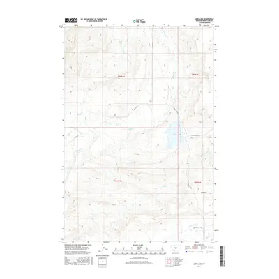
2017 Map of Lebo Lake
USGS Topo · Published 2017About this map
Lebo Lake sits at the heart of this ranching landscape in Wheatland County, where the high plains meet the intricate drainage systems of the eastern foothills. The area is defined by a network of seasonal and perennial waterways, including the winding Big Elk Cr and the southern Lebo Cr, which carve through the terrain. The presence of named ranch access routes like Lower Lebo Ranch Rd and Glennie Ranches Trl indicates a geography long dedicated to large-scale livestock operations. To the south, the American Fork flows across the lower sections of the survey, while the namesake lake serves as a primary landmark for the surrounding townships. The road network, including Porcupine Butte Rd and Moonshine Rd, provides a trace of the local connectivity required for life in this part of Montana.
Find a feature on this map
18 named features on this map. Tap any name to fly to it.
Don’t see what you’re looking for? This feature index may not catch every label — zoom into the map to look around manually.
Map Details
Editions of this 2017 Lebo Lake Map
This is the sole edition of this map. No revisions or reprints were ever made.
Other maps of this area

1886 · Little Belt Mts.
USGS Topo · 1:250,000

1889 · Big Snowy Mountain
USGS Topo · 1:250,000

1893 · Big Snowy Mountain
USGS Topo · 1:250,000

1894 · Little Belt Mts.
USGS Topo · 1:250,000

1897 · Little Belt Mts.
USGS Topo · 1:250,000

1898 · Little Belt Mts.
USGS Topo · 1:250,000

1902 · Little Belt Mts.
USGS Topo · 1:250,000

1948 · White Sulphur Springs
USGS Topo · 1:250,000

1954 · Roundup
USGS Topo · 1:250,000

1958 · Roundup
USGS Topo · 1:250,000