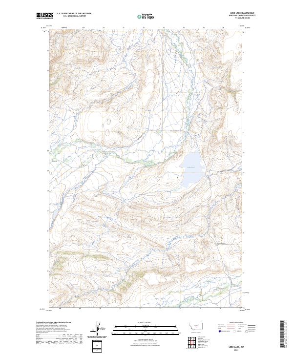
2024 Map of Lebo Lake
USGS Topo · Published 2024About this map
Lebo Lake serves as a central hydrological landmark in this part of Wheatland County, where numerous drainages converge from the surrounding high ground. The landscape is defined by an intricate network of waterways including Big Elk Creek, Bear Creek, and Crooked Creek, which carve through the terrain as they flow toward larger basins. This modern topographic survey illustrates how the ranching economy continues to shape the local geography, with arterial routes like Twodot Hwy and Lower Lebo Ranch Rd connecting isolated homesteads and grazing lands. In the southern portion of the map, Lebo Creek and the American Fork reflect the essential role of water rights in this semi-arid environment. Named trails such as Glennie Ranches Trl and specialized paths like Moonshine Rd offer specific points of interest for local historians tracing land use and property boundaries.
Find a feature on this map
18 named features on this map. Tap any name to fly to it.
Don’t see what you’re looking for? This feature index may not catch every label — zoom into the map to look around manually.
Map Details
Editions of this 2024 Lebo Lake Map
This is the sole edition of this map. No revisions or reprints were ever made.
Other maps of this area

1886 · Little Belt Mts.
USGS Topo · 1:250,000

1889 · Big Snowy Mountain
USGS Topo · 1:250,000

1893 · Big Snowy Mountain
USGS Topo · 1:250,000

1894 · Little Belt Mts.
USGS Topo · 1:250,000

1897 · Little Belt Mts.
USGS Topo · 1:250,000

1898 · Little Belt Mts.
USGS Topo · 1:250,000

1902 · Little Belt Mts.
USGS Topo · 1:250,000

1948 · White Sulphur Springs
USGS Topo · 1:250,000

1954 · Roundup
USGS Topo · 1:250,000

1958 · Roundup
USGS Topo · 1:250,000