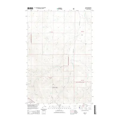
2014 Map of Lebo
USGS Topo · Published 2014About this map
Lewis & Clark National Forest encompasses the rugged high country of this Meagher County landscape, dominated by the prominent peak of Mt Elmo. The mapping reveals a complex network of mountain drainages, including the headwaters of Middle Fork Cottonwood Cr, Hereim Cr, and Muddy Cr. This 2014 survey documents the transition between the open valley floor and the densely wooded slopes of the Gallatin National Forest to the south.
Find a feature on this map
29 named features on this map. Tap any name to fly to it.
Don’t see what you’re looking for? This feature index may not catch every label — zoom into the map to look around manually.
Map Details
Editions of this 2014 Lebo Map
This is the sole edition of this map. No revisions or reprints were ever made.
Other maps of this area

1886 · Little Belt Mts.
USGS Topo · 1:250,000

1894 · Little Belt Mts.
USGS Topo · 1:250,000

1897 · Little Belt Mts.
USGS Topo · 1:250,000

1898 · Little Belt Mts.
USGS Topo · 1:250,000

1902 · Little Belt Mts.
USGS Topo · 1:250,000

1948 · White Sulphur Springs
USGS Topo · 1:250,000

1951 · Rimrock Divide
USGS Topo · 1:24,000

1958 · White Sulphur Springs
USGS Topo · 1:250,000

1961 · White Sulphur Springs
USGS Topo · 1:250,000

1965 · White Sulphur Springs
USGS Topo · 1:250,000