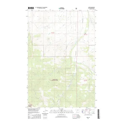
2017 Map of Lebo
USGS Topo · Published 2017About this map
Lebo and its surrounding ranchlands occupy this high-elevation landscape in Meagher County, where the plains meet the timbered slopes of the Lewis & Clark National Forest and Gallatin National Forest. The settlement pattern is defined by isolated ranching infrastructure, such as the Crazy M Ranch Rd and the quiet Lebo Cem, which serve as primary markers for genealogists and local historians tracking family roots in this corner of Montana.
Find a feature on this map
29 named features on this map. Tap any name to fly to it.
Don’t see what you’re looking for? This feature index may not catch every label — zoom into the map to look around manually.
Map Details
Editions of this 2017 Lebo Map
This is the sole edition of this map. No revisions or reprints were ever made.
Other maps of this area

1886 · Little Belt Mts.
USGS Topo · 1:250,000

1894 · Little Belt Mts.
USGS Topo · 1:250,000

1897 · Little Belt Mts.
USGS Topo · 1:250,000

1898 · Little Belt Mts.
USGS Topo · 1:250,000

1902 · Little Belt Mts.
USGS Topo · 1:250,000

1948 · White Sulphur Springs
USGS Topo · 1:250,000

1951 · Rimrock Divide
USGS Topo · 1:24,000

1958 · White Sulphur Springs
USGS Topo · 1:250,000

1961 · White Sulphur Springs
USGS Topo · 1:250,000

1965 · White Sulphur Springs
USGS Topo · 1:250,000