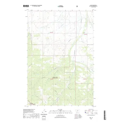
2020 Map of Lebo
USGS Topo · Published 2020About this map
Lebo stands as a quiet focus in this Meagher County landscape, where the high-altitude terrain is dominated by the sprawling boundaries of the Lewis & Clark National Forest and Gallatin National Forest. The map documents a rugged hydrographic network defined by Cottonwood Creek and Muddy Creek, which drain the slopes surrounding the prominent Mt. Elmo. In the more settled areas near the Crazy M Ranch, the Lebo Cem provides a specific point of interest for genealogists tracing local families in this part of Montana. Transportation in this high-country environment is limited to specialized routes like the Bald Ridge Driveway and Cottonwood Creek Rd, reflecting a landscape dedicated more to resource management and ranching than dense development.
Find a feature on this map
31 named features on this map. Tap any name to fly to it.
Don’t see what you’re looking for? This feature index may not catch every label — zoom into the map to look around manually.
Map Details
Editions of this 2020 Lebo Map
This is the sole edition of this map. No revisions or reprints were ever made.
Other maps of this area
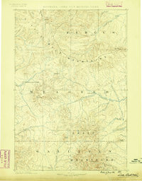
1886 · Little Belt Mts.
USGS Topo · 1:250,000
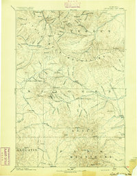
1894 · Little Belt Mts.
USGS Topo · 1:250,000
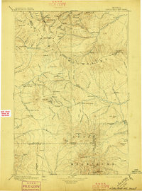
1897 · Little Belt Mts.
USGS Topo · 1:250,000
1898 · Little Belt Mts.
USGS Topo · 1:250,000
1902 · Little Belt Mts.
USGS Topo · 1:250,000
1948 · White Sulphur Springs
USGS Topo · 1:250,000
1951 · Rimrock Divide
USGS Topo · 1:24,000
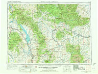
1958 · White Sulphur Springs
USGS Topo · 1:250,000
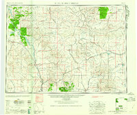
1961 · White Sulphur Springs
USGS Topo · 1:250,000
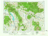
1965 · White Sulphur Springs
USGS Topo · 1:250,000