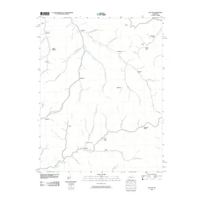
2010 Map of Lee City
USGS Topo · Published 2010About this map
The Red River carves a deep path through this portion of Wolfe County, dictating the layout of communities like Lee City and Belknap. The landscape is defined by its complex drainage network, where numerous forks and branches—such as Trent Fork, Frozen Creek, and Caney Branch—create a series of narrow valleys where early settlements took root. These winding corridors shaped the local transportation network, with roads like Trent Fork RD and Caney Branch RD following the natural contours of the water.
Find a feature on this map
76 named features on this map. Tap any name to fly to it.
Don’t see what you’re looking for? This feature index may not catch every label — zoom into the map to look around manually.
Map Details
Editions of this 2010 Lee City Map
This is the sole edition of this map. No revisions or reprints were ever made.
Other maps of this area

1889 · Salyersville
USGS Topo · 1:125,000

1891 · Salyersville
USGS Topo · 1:125,000

1899 · Salyersville
USGS Topo · 1:125,000

1951 · Cannel City
USGS Topo · 1:24,000

1951 · Guage
USGS Topo · 1:24,000

1951 · Landsaw
USGS Topo · 1:24,000

1951 · White Oak
USGS Topo · 1:24,000

1951 · Hazel Green
USGS Topo · 1:24,000

1951 · Seitz
USGS Topo · 1:24,000

1951 · Quicksand
USGS Topo · 1:24,000