
1951 Map of Seitz
USGS Topo · Published 1953About this map
Magoffin County ridge-and-hollow life in the early 1950s is defined by small settlements and family schools situated along winding creek bottoms. In this portion of the Cumberland Plateau, the Licking River and Johnson Creek drain a complex network of branching waterways. The map illustrates a rural landscape where local identity centered on places like Seitz, Netty, and Foraker.
Find a feature on this map
89 named features on this map. Tap any name to fly to it.
Don’t see what you’re looking for? This feature index may not catch every label — zoom into the map to look around manually.
Map Details
Editions of this 1951 Seitz Map
This is the sole edition of this map. No revisions or reprints were ever made.
Other maps of this area

1889 · Salyersville
USGS Topo · 1:125,000

1891 · Salyersville
USGS Topo · 1:125,000

1899 · Salyersville
USGS Topo · 1:125,000

1951 · Tiptop
USGS Topo · 1:24,000

1951 · Cannel City
USGS Topo · 1:24,000

1951 · Guage
USGS Topo · 1:24,000

1951 · White Oak
USGS Topo · 1:24,000
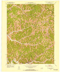
1951 · Salyersville North
USGS Topo · 1:24,000

1951 · Quicksand
USGS Topo · 1:24,000
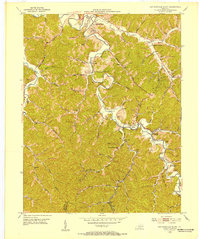
1951 · Salyersville South
USGS Topo · 1:24,000