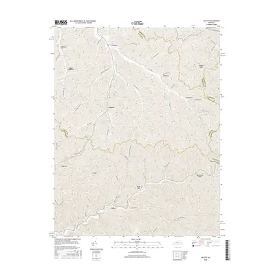
2016 Map of Lee City
USGS Topo · Published 2016About this map
Lee City sits at the northern end of a network of hollows and ridges where the boundaries of Wolfe, Morgan, Magoffin, and Breathitt counties converge. The landscape is defined by its dendritic drainage patterns, with settlements like Taulbee, Gillmore, and Rock Lick following the narrow valley floors. Transportation in this part of the Cumberland Plateau is dictated by the terrain, with roads such as Rose Fork Rd and Greenbriar Branch Rd tracing the winding paths of their namesake creeks. The map reveals the intricate social geography of the region, where small communities like Mountain Valley and Belknap remain centered around these vital waterways. High ridges like Wheel Rim separate these drainages, creating a secluded topography where local place names often reflect early family settlements and natural landmarks.
Find a feature on this map
50 named features on this map. Tap any name to fly to it.
Don’t see what you’re looking for? This feature index may not catch every label — zoom into the map to look around manually.
Map Details
Editions of this 2016 Lee City Map
This is the sole edition of this map. No revisions or reprints were ever made.
Other maps of this area

1889 · Salyersville
USGS Topo · 1:125,000

1891 · Salyersville
USGS Topo · 1:125,000

1899 · Salyersville
USGS Topo · 1:125,000

1951 · Cannel City
USGS Topo · 1:24,000

1951 · Guage
USGS Topo · 1:24,000

1951 · Landsaw
USGS Topo · 1:24,000

1951 · White Oak
USGS Topo · 1:24,000

1951 · Hazel Green
USGS Topo · 1:24,000

1951 · Seitz
USGS Topo · 1:24,000

1951 · Quicksand
USGS Topo · 1:24,000