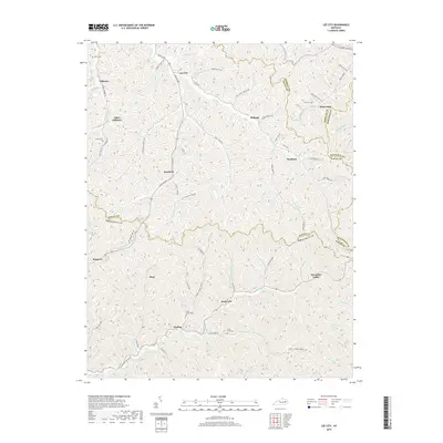
2019 Map of Lee City
USGS Topo · Published 2019About this map
The Red River carves through the convergence of Wolfe, Morgan, Breathitt, and Magoffin counties, defining a landscape of narrow hollows and high ridges. In the northern reaches, Lee City serves as a central point for a network of winding valley roads like Lee City Rd and Co RD 1094, which follow the natural contours of the drainage systems. This 2019 survey illustrates a deeply rural settlement pattern where small communities and family landmarks are concentrated along the creek bottoms. Small settlements such as Belknap, Rosefork, and Rock Lick are connected by namesake routes like Rose Fork and Trent Fork. For those researching local heritage, several small burial grounds are documented, including Clear Fork Cem and Field Branch Cem, providing critical geographic markers for family sites located far from the main thoroughfares.
Find a feature on this map
85 named features on this map. Tap any name to fly to it.
Don’t see what you’re looking for? This feature index may not catch every label — zoom into the map to look around manually.
Map Details
Editions of this 2019 Lee City Map
This is the sole edition of this map. No revisions or reprints were ever made.
Other maps of this area

1889 · Salyersville
USGS Topo · 1:125,000

1891 · Salyersville
USGS Topo · 1:125,000

1899 · Salyersville
USGS Topo · 1:125,000

1951 · Cannel City
USGS Topo · 1:24,000

1951 · Guage
USGS Topo · 1:24,000

1951 · Landsaw
USGS Topo · 1:24,000

1951 · White Oak
USGS Topo · 1:24,000

1951 · Hazel Green
USGS Topo · 1:24,000

1951 · Seitz
USGS Topo · 1:24,000

1951 · Quicksand
USGS Topo · 1:24,000