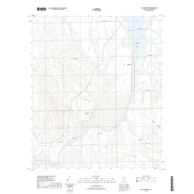
2018 Map of Lee Long Bridge
USGS Topo · Published 2018About this map
Midway stands near the eastern bank of the Alabama River in Wilcox County, where the landscape is defined by the expansive William 'Bill' Dannelly Reservoir. This 2018 survey highlights the aquatic geography of the region, including the crossing at Lee Long Bridge and numerous tributary systems like Dixon Creek, Rockwest Creek, and Beaver Creek. The map provides significant value for genealogical research, documenting several local burial sites including Mendenhall Cemetery, Sand Island Cemetery, Pledger Cemetery, and Bones Hill Cemetery.
Find a feature on this map
26 named features on this map. Tap any name to fly to it.
Don’t see what you’re looking for? This feature index may not catch every label — zoom into the map to look around manually.
Map Details
Editions of this 2018 Lee Long Bridge Map
This is the sole edition of this map. No revisions or reprints were ever made.
Other maps of this area

1953 · Montgomery
USGS Topo · 1:250,000

1953 · Andalusia
USGS Topo · 1:250,000

1956 · Montgomery
USGS Topo · 1:250,000

1957 · Montgomery
USGS Topo · 1:250,000

1957 · Andalusia
USGS Topo · 1:250,000

1973 · Coy
USGS Topo · 1:24,000

1973 · Pine Hill
USGS Topo · 1:24,000

1973 · Camden South
USGS Topo · 1:24,000

1974 · Crumptonia
USGS Topo · 1:24,000

1974 · Catherine
USGS Topo · 1:24,000