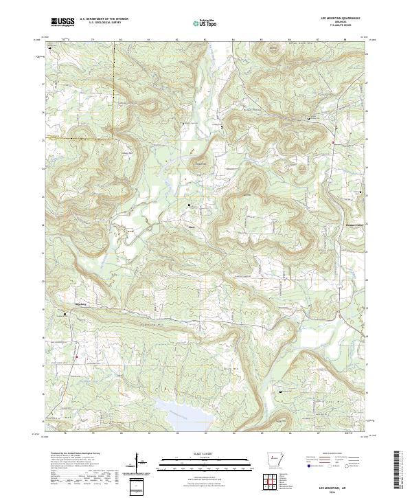
2024 Map of Lee Mountain
USGS Topo · Published 2024About this map
Big Piney Creek carves a significant path through this section of the Arkansas interior, defining a landscape where rural settlements and family-named landmarks are concentrated along narrow valley floors and ridgelines. The area is characterized by several distinct topographic elevations, including Lee Mtn, Colony Mtn, and Augsburg Mtn, which separate the various drainage basins of the Illinois Bayou and its tributaries. Local history is anchored in small communities such as Augsburg, Piney, and the curiously named Booger Hollow. The map reveals a high density of small family and community burial grounds, including the Booger Hollow Cem, Pollard Cem, and Augsburg Cem, providing essential primary source data for genealogical research. The presence of Shinn Mtn and Tucker Mtn near the southern boundary suggests a transition into the more varied terrain bordering the river valleys.
Find a feature on this map
104 named features on this map. Tap any name to fly to it.
Don’t see what you’re looking for? This feature index may not catch every label — zoom into the map to look around manually.
Map Details
Editions of this 2024 Lee Mountain Map
This is the sole edition of this map. No revisions or reprints were ever made.
Other maps of this area

1888 · Dardanelle #2
USGS Topo · 1:62,500

1888 · Dardanelle #1
USGS Topo · 1:62,500

1889 · Treat
USGS Topo · 1:62,500

1889 · Ozone
USGS Topo · 1:62,500

1890 · Dardanelle
USGS Topo · 1:125,000

1932 · Treat
USGS Topo · 1:62,500

1934 · Treat
USGS Topo · 1:62,500

1934 · Ozone
USGS Topo · 1:62,500

1936 · Ozone
USGS Topo · 1:62,500

1956 · Russellville
USGS Topo · 1:250,000