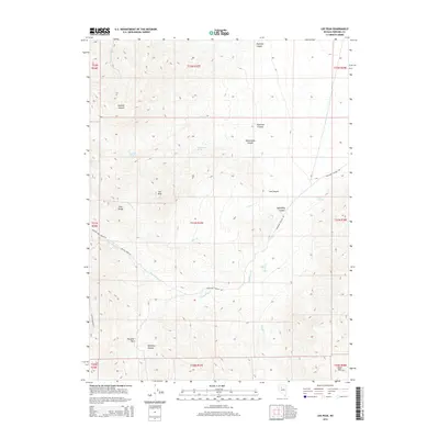
2014 Map of Lee Peak
USGS Topo · Published 2014About this map
Lee Peak and the high ridges of the East Range dominate this interior Nevada landscape, where water sources are critical markers in an arid environment. Named springs including Yellowstone Spring, Rawhide Spring, and Mud Springs suggest the historical reliance on these scarce points for ranching and travel through the Great Basin. The terrain is deeply incised by numerous canyons, such as Rockhill Canyon, Spaulding Canyon, and Klondike Canyon, which provide natural corridors through the mountains.
Find a feature on this map
31 named features on this map. Tap any name to fly to it.
Don’t see what you’re looking for? This feature index may not catch every label — zoom into the map to look around manually.
Map Details
Editions of this 2014 Lee Peak Map
This is the sole edition of this map. No revisions or reprints were ever made.
Other maps of this area

1932 · Sonoma Range
USGS Topo · 1:250,000

1939 · Sonoma Range
USGS Topo · 1:250,000

1955 · Winnemucca
USGS Topo · 1:250,000

1958 · Winnemucca
USGS Topo · 1:250,000
1961 · Kyle Hot Springs
USGS Topo · 1:62,500

1961 · Mt. Tobin
USGS Topo · 1:62,500

1961 · Leach Hot Springs
USGS Topo · 1:62,500

1961 · Dun Glen
USGS Topo · 1:62,500

1962 · Winnemucca
USGS Topo · 1:250,000

1982 · Fish Creek Mts
USGS Topo · 1:100,000