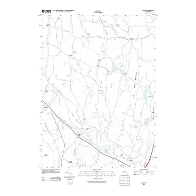
2010 Map of Leeds
USGS Topo · Published 2010About this map
Catskill Creek winds through the southern portion of this landscape, defining the valley floor near Leeds and Leeds Flat. The terrain rises toward the east at Potic Mountain and in the west at Cairo Round Top, framing a central corridor characterized by the broad Sandy Plain. This 2010 survey details a dense network of family and community history, evidenced by more than a dozen burial grounds including the Old Leeds Cemetery, Blackman Cemetery, and Weekes Cemetery. Small hamlets and named intersections like Gayhead, Earlton, and Place Corners are connected by a web of historic thoroughfares such as the Schoharie Tpke. The presence of the Catskill Valley Airpark and Potuck Reservoir illustrates the modern land use and water management supporting these Greene County communities.
Find a feature on this map
92 named features on this map. Tap any name to fly to it.
Don’t see what you’re looking for? This feature index may not catch every label — zoom into the map to look around manually.
Map Details
Editions of this 2010 Leeds Map
This is the sole edition of this map. No revisions or reprints were ever made.
Other maps of this area

1892 · Kaaterskill
USGS Topo · 1:62,500

1893 · Kaaterskill
USGS Topo · 1:62,500

1893 · Coxsackie
USGS Topo · 1:62,500

1893 · Durham
USGS Topo · 1:62,500

1894 · Coxsackie
USGS Topo · 1:62,500

1894 · Kaaterskill
USGS Topo · 1:62,500

1894 · Durham
USGS Topo · 1:62,500

1895 · Catskill
USGS Topo · 1:62,500

1899 · Kaaterskill
USGS Topo · 1:62,500

1903 · Kaaterskill
USGS Topo · 1:62,500