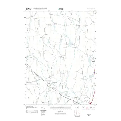
2013 Map of Leeds
USGS Topo · Published 2013About this map
The winding course of Catskill Cr and Potic Cr dominates the geography of this Greene County region, as seen in the early 21st century. The landscape is dotted with ancestral burial grounds, including Gayhead Cem, Blackman Cem, and Old Leeds Cem, providing critical landmarks for genealogists. Small crossroads communities like Gayhead, Earlton, and South Cairo maintain their distinct identities, while agricultural legacies are represented by Schnares Sunset Orchards.
Find a feature on this map
153 named features on this map. Tap any name to fly to it.
Don’t see what you’re looking for? This feature index may not catch every label — zoom into the map to look around manually.
Map Details
Editions of this 2013 Leeds Map
This is the sole edition of this map. No revisions or reprints were ever made.
Other maps of this area

1892 · Kaaterskill
USGS Topo · 1:62,500

1893 · Kaaterskill
USGS Topo · 1:62,500

1893 · Coxsackie
USGS Topo · 1:62,500

1893 · Durham
USGS Topo · 1:62,500

1894 · Coxsackie
USGS Topo · 1:62,500

1894 · Kaaterskill
USGS Topo · 1:62,500

1894 · Durham
USGS Topo · 1:62,500

1895 · Catskill
USGS Topo · 1:62,500

1899 · Kaaterskill
USGS Topo · 1:62,500

1903 · Kaaterskill
USGS Topo · 1:62,500