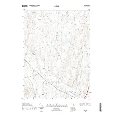
2019 Map of Leeds
USGS Topo · Published 2019About this map
Leeds and the surrounding Greene County countryside are defined by the winding course of Catskill Creek and its many tributaries, including Potic Creek and Cob Creek. The landscape transition from the flats near Leeds Flat to the higher elevations of Potic Mtn and Indian Ridge is marked by a network of historic thoroughfares like the Schoharie Tpke. The map serves as a detailed record for genealogists, preserving the locations of numerous family and community burial grounds such as Waldron Brandow Cem, Honey Hollow Cem, and Gayhead Cem.
Find a feature on this map
147 named features on this map. Tap any name to fly to it.
Don’t see what you’re looking for? This feature index may not catch every label — zoom into the map to look around manually.
Map Details
Editions of this 2019 Leeds Map
This is the sole edition of this map. No revisions or reprints were ever made.
Other maps of this area

1892 · Kaaterskill
USGS Topo · 1:62,500

1893 · Kaaterskill
USGS Topo · 1:62,500

1893 · Coxsackie
USGS Topo · 1:62,500

1893 · Durham
USGS Topo · 1:62,500

1894 · Coxsackie
USGS Topo · 1:62,500

1894 · Kaaterskill
USGS Topo · 1:62,500

1894 · Durham
USGS Topo · 1:62,500

1895 · Catskill
USGS Topo · 1:62,500

1899 · Kaaterskill
USGS Topo · 1:62,500

1903 · Kaaterskill
USGS Topo · 1:62,500