2024 Map of Leeds
USGS Topo · Published 2024About this map
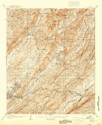
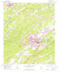
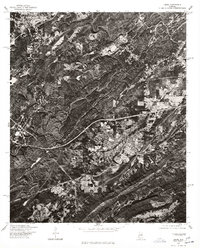
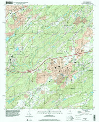
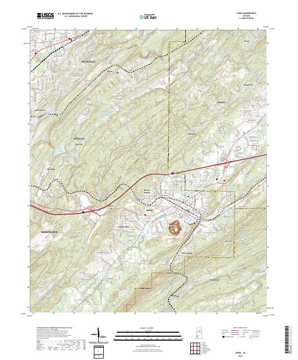
The Cahaba River and its Little Cahaba River tributary anchor this landscape where suburban expansion meets the ridges of the Appalachian foothills. Modern infrastructure, including the Barber Motorsports Pkwy and Crestwood Blvd, cuts through a series of prominent elevations like Blackjack Ridge and Oak Mountain. This 2024 data highlights the corridor between Trussville and Leeds, showing a dense network of residential developments and community landmarks such as the Trussville Cem and Shiloh Cem. The mapping traces the complex boundaries where Jefferson meets St. Clair and Shelby counties. From the valley floors of the Cahaba Valley to the heights of Pine Ridge, the map documents the modern footprint of Birmingham’s eastern reach, where old settlements like Roper and Acmar now sit alongside contemporary subdivisions and regional transit routes.
Find a feature on this map
71 named features on this map. Tap any name to fly to it.
Don’t see what you’re looking for? This feature index may not catch every label — zoom into the map to look around manually.
Map Details
Editions of this 2024 Leeds Map
This is the sole edition of this map. No revisions or reprints were ever made.
Historical Maps of McCombs Through Time
6 maps found