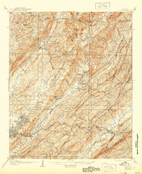
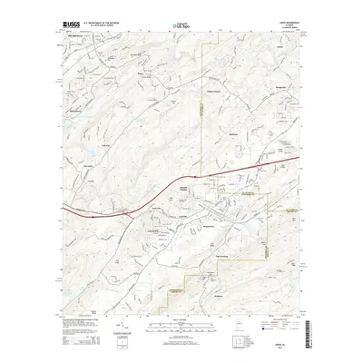
1959 Map of Leeds
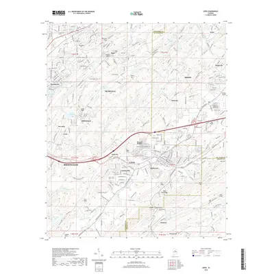
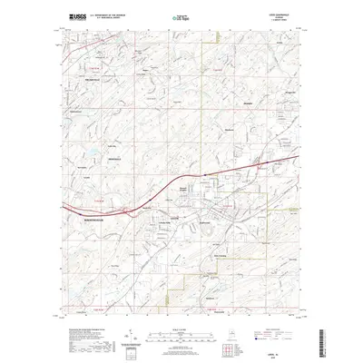
USGS Topo · Published 1978About this map
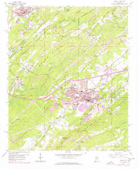
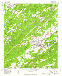
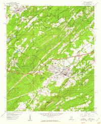
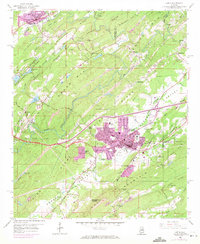
Leeds and Trussville anchor this 1950s landscape, which transitioned from industrial resource extraction to suburban expansion by the late 1970s. The topography is defined by the parallel ridges of Grassy Ridge and Blackjack Ridge, while the Cahaba River winds through the central valley. Evidence of the region's mineral-driven economy is everywhere, from the Strip Mine and numerous Chert Pits to the Hickman Mill and the Roper Tunnel.
Find a feature on this map
68 named features on this map. Tap any name to fly to it.
Don’t see what you’re looking for? This feature index may not catch every label — zoom into the map to look around manually.
Map Details
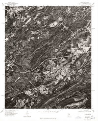
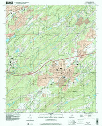
Editions of this 1959 Leeds Map
4 editions found
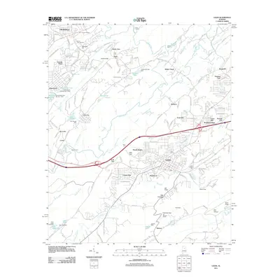
Historical Maps of Birmingham Through Time
10 maps found

1905 Leeds
Jefferson County, AL
1907 Leeds
Jefferson County, AL
1959 Leeds
Jefferson County, AL
1975 Leeds
Jefferson County, AL
1998 Leeds
Jefferson County, AL
2011 Leeds
Jefferson County, AL
2014 Leeds
Jefferson County, AL
2018 Leeds
Jefferson County, AL
2020 Leeds
Jefferson County, AL
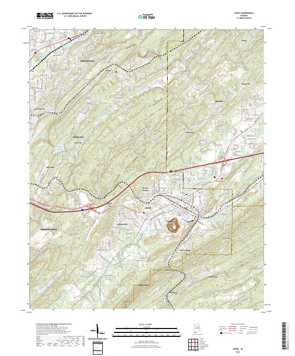
2024 Leeds
Jefferson County, AL