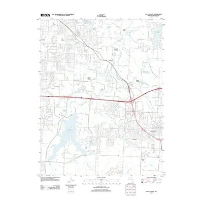
2011 Map of Lees Summit
USGS Topo · Published 2011About this map
Unity Village and the sprawling campus of the Unity School of Christianity anchor the eastern portion of this landscape, marked by the iconic Unity Tower and a series of reservoirs including Unity Lake Number One. The map captures a moment of significant suburban transition in Jackson County, where the traditional boundaries of Lees Summit and Longview meet the historical infrastructure of Longview Farm. The drainage of the Little Blue River and its many tributaries, such as White Oak Creek and Cedar Creek, dictates the layout of modern residential developments and older settlements like Knobtown and Vale. Notable recreational and community landmarks include the Kansas City International Drag Strip and the Turner Golf Course, while the area's history is preserved in numerous burial grounds such as Mount Olivet Cemetery and the uniquely named Runway Ranch Airport Cemetery near Union Point.
Find a feature on this map
131 named features on this map. Tap any name to fly to it.
Don’t see what you’re looking for? This feature index may not catch every label — zoom into the map to look around manually.
Map Details
Editions of this 2011 Lees Summit Map
This is the sole edition of this map. No revisions or reprints were ever made.
Other maps of this area

1887 · Harrisonville
USGS Topo · 1:125,000

1887 · Olathe
USGS Topo · 1:125,000

1890 · Kansas City
USGS Topo · 1:125,000

1892 · Harrisonville
USGS Topo · 1:125,000

1893 · Olathe
USGS Topo · 1:125,000

1894 · Kansas City
USGS Topo · 1:125,000

1894 · Harrisonville
USGS Topo · 1:125,000

1894 · Independence
USGS Topo · 1:125,000

1933 · Blue Springs
USGS Topo · 1:24,000

1934 · Independence
USGS Topo · 1:24,000