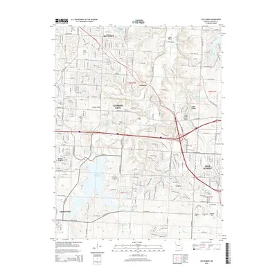
2015 Map of Lees Summit
USGS Topo · Published 2015About this map
Lees Summit and the southeastern suburban reach of Kansas City define this landscape during a period of significant residential and educational development. The map prominently features the campus of the Metropolitan Community Coll Longview overlooking the extensive waters of Longview Lake, a major reservoir that reshaped the local topography. The area is marked by numerous historic burial grounds including Floral Hills Cemetery and the more secluded Flanery Cemetery, providing valuable points of reference for genealogists tracing local families.
Find a feature on this map
73 named features on this map. Tap any name to fly to it.
Don’t see what you’re looking for? This feature index may not catch every label — zoom into the map to look around manually.
Map Details
Editions of this 2015 Lees Summit Map
This is the sole edition of this map. No revisions or reprints were ever made.
Other maps of this area

1887 · Harrisonville
USGS Topo · 1:125,000

1887 · Olathe
USGS Topo · 1:125,000

1890 · Kansas City
USGS Topo · 1:125,000

1892 · Harrisonville
USGS Topo · 1:125,000

1893 · Olathe
USGS Topo · 1:125,000

1894 · Kansas City
USGS Topo · 1:125,000

1894 · Harrisonville
USGS Topo · 1:125,000

1894 · Independence
USGS Topo · 1:125,000

1933 · Blue Springs
USGS Topo · 1:24,000

1934 · Independence
USGS Topo · 1:24,000