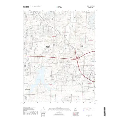
2017 Map of Lees Summit
USGS Topo · Published 2017About this map
Lee's Summit and the eastern edge of Kansas City anchor this landscape, where the suburban development of eastern Jackson County meets significant natural and institutional landmarks. The Little Blue River winds through the central corridor, flanked by several smaller water bodies including New Longview Lake and Old Longview Lake. Significant cemetery sites such as Floral Hills Cem and Mount Olivet Cem offer valuable points of interest for genealogists tracing family histories in the Raytown and Grandview vicinities. The presence of Unity Village and its unique Unity Village Natural Bridge highlights the area's mid-century religious and community heritage. Educational and transport infrastructure is well represented by the Metropolitan Community College Longview campus and the tracks of the Kansas City Southern railroad, illustrating the region's continued growth and connectivity.
Find a feature on this map
167 named features on this map. Tap any name to fly to it.
Don’t see what you’re looking for? This feature index may not catch every label — zoom into the map to look around manually.
Map Details
Editions of this 2017 Lees Summit Map
This is the sole edition of this map. No revisions or reprints were ever made.
Other maps of this area

1887 · Harrisonville
USGS Topo · 1:125,000

1887 · Olathe
USGS Topo · 1:125,000

1890 · Kansas City
USGS Topo · 1:125,000

1892 · Harrisonville
USGS Topo · 1:125,000

1893 · Olathe
USGS Topo · 1:125,000

1894 · Kansas City
USGS Topo · 1:125,000

1894 · Harrisonville
USGS Topo · 1:125,000

1894 · Independence
USGS Topo · 1:125,000

1933 · Blue Springs
USGS Topo · 1:24,000

1934 · Independence
USGS Topo · 1:24,000