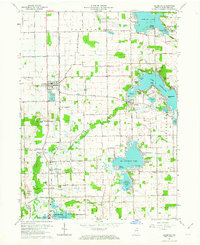
1962 Map of Leesburg
USGS Topo · Published 1964About this map
Leesburg and the surrounding glacial lake country of northern Indiana are captured here during a period of significant recreational development and established agricultural patterns. The landscape is defined by its water, from the sprawling reach of Tippecanoe Lake and Big Chapman Lake to the meandering Tippecanoe River. This era shows a transition toward seasonal lakeside living, evidenced by numerous named subdivisions and parks like Quaker Haven Park, Wa-Will-Away Park, and Musquabuck Park lining the shores.
Find a feature on this map
89 named features on this map. Tap any name to fly to it.
Don’t see what you’re looking for? This feature index may not catch every label — zoom into the map to look around manually.
Map Details
Editions of this 1962 Leesburg Map
2 editions found
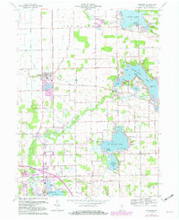
Other maps of this area

1950 · Leesburg
USGS Topo · 1:24,000

1950 · Pierceton
USGS Topo · 1:24,000

1950 · North Webster
USGS Topo · 1:24,000

1951 · Milford
USGS Topo · 1:24,000

1951 · Wawasee
USGS Topo · 1:24,000

1953 · Fort Wayne
USGS Topo · 1:250,000

1956 · Fort Wayne
USGS Topo · 1:250,000

1957 · Warsaw
USGS Topo · 1:24,000

1958 · Nappanee East
USGS Topo · 1:24,000

1959 · Atwood
USGS Topo · 1:24,000