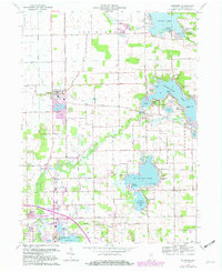
1962 Map of Leesburg
USGS Topo · Published 1982About this map
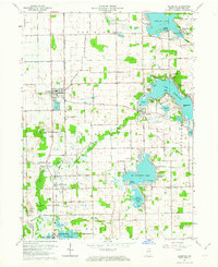
Tippecanoe Lake and the Tippecanoe River anchor this landscape in northern Kosciusko County, where the topography is defined by the glacial legacy of the Indiana lake country. The settlement at Leesburg and the smaller village of Oswego serve as local hubs, while the map reveals the dense seasonal and year-round communities surrounding the water, including DeFries Landing and Stoneburner Landing. The map prominently features the Old Indian Treaty Boundary, which cuts diagonally across the townships of Van Buren, Plain, and Wayne, reflecting the early 19th-century transition of this land.
Find a feature on this map
60 named features on this map. Tap any name to fly to it.
Don’t see what you’re looking for? This feature index may not catch every label — zoom into the map to look around manually.
Map Details
Editions of this 1962 Leesburg Map
2 editions found
Other maps of this area

1950 · Leesburg
USGS Topo · 1:24,000

1950 · Pierceton
USGS Topo · 1:24,000

1950 · North Webster
USGS Topo · 1:24,000

1951 · Milford
USGS Topo · 1:24,000

1951 · Wawasee
USGS Topo · 1:24,000

1953 · Fort Wayne
USGS Topo · 1:250,000

1956 · Fort Wayne
USGS Topo · 1:250,000

1957 · Warsaw
USGS Topo · 1:24,000

1958 · Nappanee East
USGS Topo · 1:24,000

1959 · Atwood
USGS Topo · 1:24,000