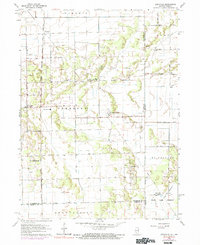
1963 Map of Leesville
USGS Topo · Published 1974About this map
Leesville and the surrounding townships sit along the Illinois Indiana state line, reflecting a landscape defined by drainage engineering and the expansion of the Chicago Milwaukee St Paul and Pacific railroad. The map reveals the intricate network of the Lake Ditch and Redden Ditch systems, which were vital for reclaiming the prairie for agriculture. Local community life is centered around rural institutions like Pembroke Sch and several places of worship, including Guiding Star Ch and the Rehoboth Tabernacle Ch.
Find a feature on this map
30 named features on this map. Tap any name to fly to it.
Don’t see what you’re looking for? This feature index may not catch every label — zoom into the map to look around manually.
Map Details
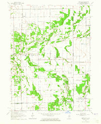
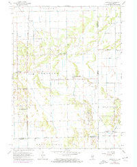
Editions of this 1963 Leesville Map
3 editions found
Other maps of this area

1922 · Momence
USGS Topo · 1:62,500

1924 · Momence
USGS Topo · 1:62,500

1935 · Watseka
USGS Topo · 1:48,000

1939 · Watseka
USGS Topo · 1:62,500

1953 · Chicago
USGS Topo · 1:250,000

1953 · Danville
USGS Topo · 1:250,000

1955 · Danville
USGS Topo · 1:250,000

1956 · Danville
USGS Topo · 1:250,000

1957 · Chicago
USGS Topo · 1:250,000

1959 · Schneider
USGS Topo · 1:24,000